Career-Specific Program Overview
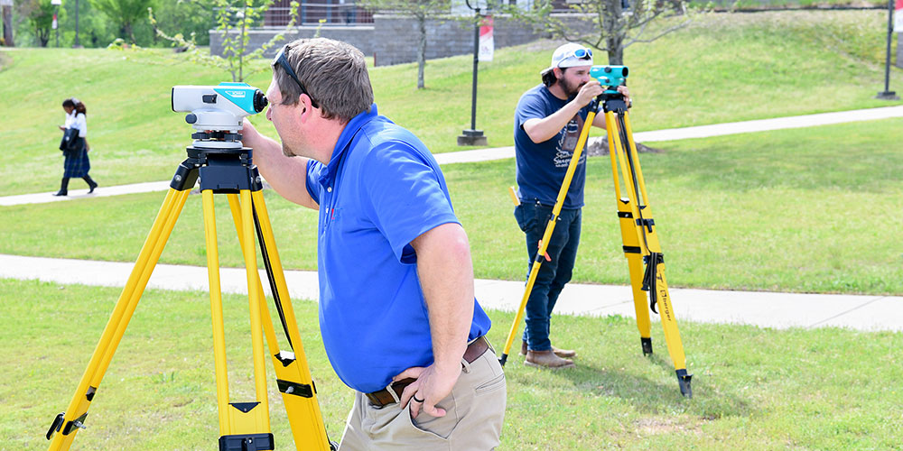
Surveyors are experts at measurement. They establish official land boundaries; write descriptions of land for deeds, easements and leases; and measure construction and mineral sites. Students in the surveying program will be trained to operate surveying equipment, including automatic levels, total stations, and global positioning system (GPS) receivers. Instruction covers procedures and computations involved in boundary, route and construction surveys, as well as preparing legal documents, plats, maps, and reports.
Students graduating with the A.A.S. degree are recommended to take the Fundamentals of Surveying (FS) exam soon after graduation. On passing the FS exam, the student becomes a Surveyor Intern (SI). After receiving board-approved experience while working in the surveying industry, individuals are allowed to take the Principles and Practice of Surveying (P&PS) and the AR state specific exam. The final step in the process of becoming a professional surveyor (PS) is passing both the P&PS and the state specific exam.
Career Opportunities
- Arkansas Highway and Transportation Department
- U.S. Corps of Engineers
- Private companies
- Independent surveying business owner/operator (after gaining experience and passage of the Principles and Practices of Surveying Exam)
Degree/Certificate Requirements
Program Learning Outcomes
Students who successfully complete the Certificate of Proficiency in Surveying will be able to:
- Use the basic features of CAD surveying software.
- Use basic surveying tools.
Program Learning Outcomes
Students who successfully complete the Technical Certificate in Surveying will be able to:
- Use the basic features of CAD surveying software.
- Use basic surveying tools.
- Utilize writing skills in analyzing terminology and conditions consistent with surveying practices.
- Prepare reports and/or maps from field data.
Program Learning Outcomes
Students who successfully complete the Associate of Applied Science degree in Surveying will be able to:
- Perform mathematical computations consistent with surveying practices.
- Use the basic features of CAD surveying software.
- Use basic surveying tools.
- Utilize writing skills in analyzing terminology and conditions consistent with surveying practices.
- Understand foundational concepts and effectively use GPS systems.
- Interpret and write land/survey descriptions.
- Prepare reports and/or maps from field data.
- Attain the skills and knowledge necessary to become employed in the surveying industry.
